Alexandria Corniche
The Corniche is Alexandria's seafront road and promenade, running for more than 15 km along the Mediterranean from the Citadel of Qaitbay to Montaza. It is free and open at all times, and the curve of the Eastern Harbour is the finest stretch.
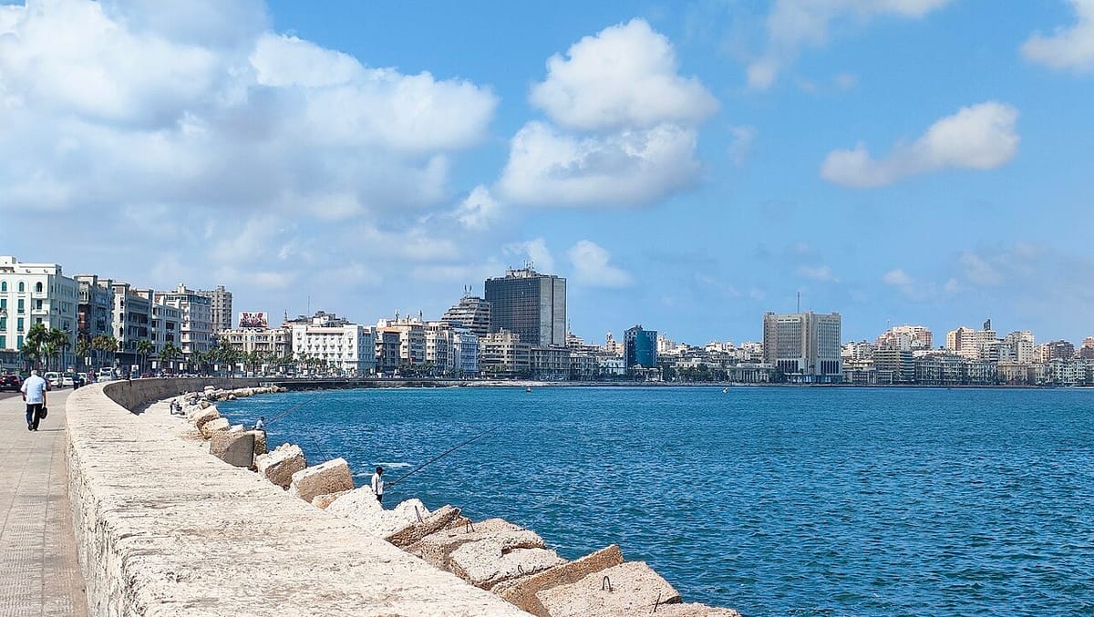
Alexandria lives along its Corniche, a seafront road and walkway that traces the Mediterranean shore for over 15 kilometres, from the Eastern Harbour and Qaitbay in the west to Montaza in the east.
The loveliest section is the arc of the Eastern Harbour, where weathered buildings from the early 1900s, long-established cafés and fishing boats line the water. Further east the road runs past the city beaches and coves, including Stanley Bridge.
On summer days and every evening, Alexandrians come down here to stroll, snack on grilled corn, drink tea and watch the sea.
What to see
- The Eastern Harbour curve from Mansheya to Qaitbay
- Old seafront cafés
- Fish restaurants in Anfushi
- Stanley Bridge and the eastern beaches
Visiting
- Opening hours: open at all times
- Best time: late afternoon into the night; winter storms throw up big waves
- Traffic: fast and heavy, so cross only at lights or pedestrian bridges
- Nearby: Citadel of Qaitbay, Naval Unknown Soldier Memorial, Bibliotheca Alexandrina
Getting there
Coordinates: 31.205, 29.9
Frequently asked questions
How long is the Alexandria Corniche?
More than 15 km, from the Eastern Harbour and Qaitbay in the west to Montaza in the east.
What is the best part of the Corniche?
The curve of the Eastern Harbour from Mansheya to Qaitbay, with its early-20th-century buildings, old cafés and fishing boats.
Is it safe to cross the road on the Corniche?
Traffic is fast and heavy, so cross only at traffic lights or on the pedestrian bridges.